Siting criteria for ambient air quality monitors, and the gaps they still leave
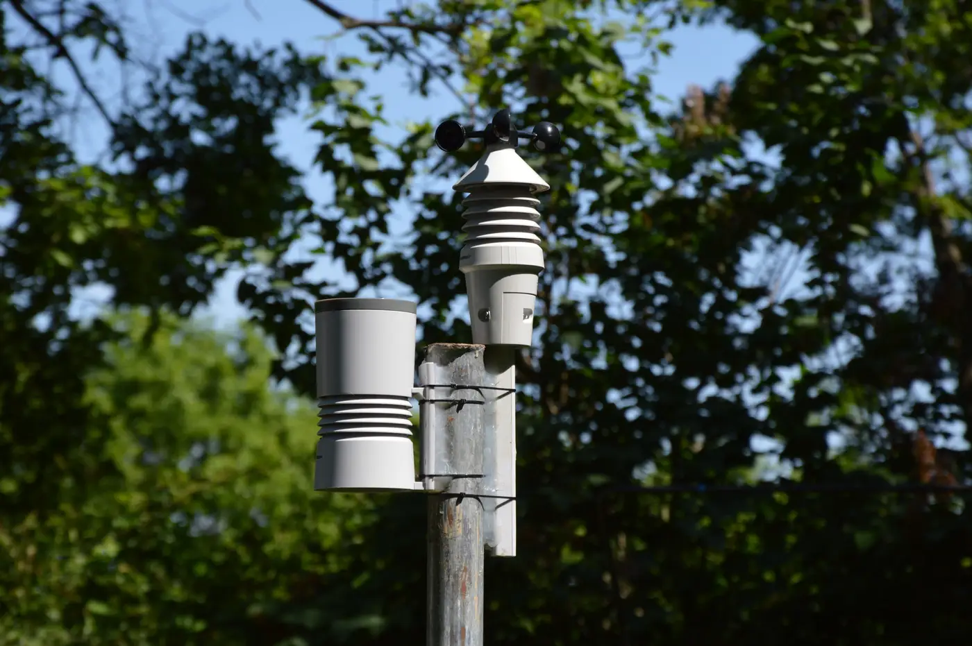
If you've ever tried to find a spot for a new monitor and had it rejected during QA review, you already know the siting criteria aren't a formality. They're in 40 CFR Part 58, Appendix E, and they exist because a monitor sitting too close to a loading dock, a tree canopy, or a turning lane isn't measuring ambient air. It's measuring that loading dock.
The basic probe and inlet rules
The core numbers most analysts memorize are the ones EPA actually audits for: 2 to 15 meters above ground for most criteria pollutants, at least 1 meter of vertical and 1 meter of horizontal separation from any obstacle that could disturb airflow, and at least 10 meters from the drip line of trees. Probes need unrestricted airflow in at least a 270-degree arc, or 180 degrees if the site is on the edge of a built-up area. None of this is arbitrary. A probe tucked behind a wall or under a soffit samples a microenvironment, not the neighborhood.
Distance from roadways, and why it changes by monitor type
Appendix E's roadway-distance table sets separations that change with three things: the pollutant you're monitoring, the traffic count on the nearest road, and the station's purpose, near-road monitoring or area-wide population exposure. A PM2.5 monitor meant to characterize general population exposure needs to sit well back from traffic, often 10 meters or more depending on AADT. A dedicated near-road NO2 site is deliberately placed close to a high-traffic corridor, sometimes within 50 meters of the roadway, because that's the exposure gradient it's designed to capture. Siting a population-exposure PM2.5 monitor where a near-road monitor belongs is one of the more common reasons a site fails network review. Matching the required distance to the monitoring objective stated in your network plan, pollutant by pollutant, is what keeps a site out of that trap.
Representativeness: the criterion that doesn't fit in a table
Appendix D and Appendix E both lean on the idea of spatial scale, micro, middle, neighborhood, urban, and regional, and this is where siting stops being a tape-measure exercise and starts being a judgment call. A monitor can satisfy every probe-height and setback rule in the book and still be non-representative if it's sitting in a cul-de-sac that happens to be shielded from the prevailing wind, or if it's the one corner of an otherwise uniform neighborhood that catches a specific point source. Representativeness is supposed to describe conditions over some meaningful area, not the 50 square meters immediately around the inlet. A single fixed station, however perfectly sited, tells you a lot about its own footprint and very little about the three or four square kilometers between it and the next station.
That gap is exactly where a station's own perfect siting stops being enough. Two fixed monitors can both pass every Appendix E check and still miss a haze event forming in the corridor between them, because neither one's footprint reaches that far. If you're trying to see what's happening in that space without waiting on a permit and a new concrete pad, Air Quality Proxy builds a daily aerosol optical depth raster for your region so you can watch where particulate loading is building before it shows up at a station.
A few things analysts ask about siting
Does a monitor need line-of-sight to the source it's tracking? No. Siting criteria are about representativeness of ambient conditions, not about aiming at a specific emitter. A near-road monitor is the one exception built around a known gradient.
Can an existing site be grandfathered if the surrounding land use changes? Sometimes, but a change in land use, like a parking lot going in next to a probe, can trigger a siting reevaluation at the next network review, even on a long-standing station.
Is the 10-meter tree setback really enforced that strictly? It gets flagged in QA audits more often than people expect. Trees grow, and a site that passed siting review five years ago can fail it today if nobody's gone back to check canopy distance.
If a stretch of your network is more hunch than data right now, it might be worth seeing what a daily AOD layer shows for that same ground.