What is a special purpose monitor, and when do you deploy one?
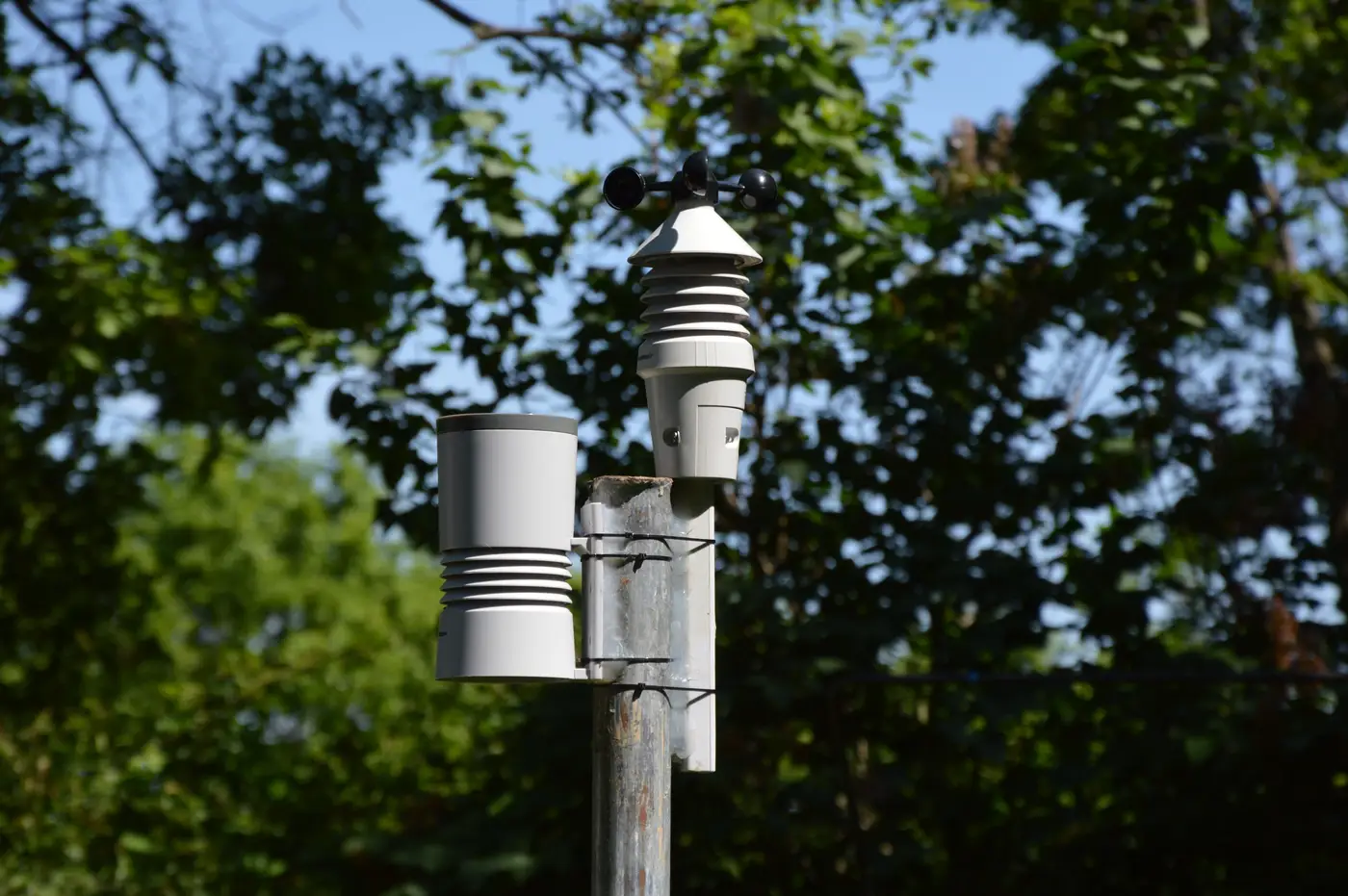
If you work in a state or local air agency, you already know SLAMS: the fixed stations in your network design plan, sited to federal siting criteria, running FRM or FEM instruments on a schedule that doesn't change much year to year. A special purpose monitor (SPM) is the other kind of station. It's temporary, it's not part of your required network, and it exists because something specific needs an answer that your permanent sites can't give you.
SPM vs SLAMS: what actually separates them
The regulatory distinction lives in 40 CFR Part 58. SLAMS sites count toward NAAQS compliance determinations and have to meet the full siting criteria in Appendix E, probe height, distance from roads, spacing from obstructions, the works. An SPM doesn't have to clear that bar in the same way, and data from an SPM generally isn't used for attainment designations unless you've gone through the steps to have it treated otherwise. That lower bar is the point. It lets you drop a monitor somewhere fast, for a defined window, to answer a defined question, without redesigning your whole network or waiting out a multi-year siting process.
In practice an SPM is a portable or semi-permanent instrument, sometimes a federal reference method unit on a trailer, sometimes a lower-cost sensor if you're comfortable with the data quality tradeoff, placed somewhere your SLAMS grid doesn't reach.
When you actually deploy one
A complaint, a permit review, or an event gives you a reason to look, and your nearest SLAMS station sits too far away to say anything useful about that location. That's the trigger for an SPM.
A few situations come up again and again:
A new or expanding source applies for a permit and the modeling raises questions your existing monitors can't confirm one way or the other, because the plume footprint doesn't overlap any of your fixed sites.
A community files repeated odor or particulate complaints and you need actual numbers at that location, not an inference from a station three miles upwind.
A wildfire, a fenceline incident, or another exceptional event needs documentation in a spot you weren't already measuring.
You're scoping a future SLAMS site and want a season or two of data before committing capital and staff time to a permanent installation.
Siting a temporary monitor still takes judgment even without the full Appendix E checklist. You still want it away from local combustion sources that would bias the reading, at a representative height, somewhere with power and security for the run of the deployment. Agencies that skip this step end up with data nobody trusts when it matters, during an enforcement case or a public comment period.
The gap an SPM can't fill by itself
Deploying one SPM gives you a point measurement at that trailer, for the window it's running. The space between it and your next station stays dark, and so does last week, before the complaint came in and gave you a reason to look. If the question is where the haze is actually forming and whether it has been building for days, a single ground instrument, temporary or not, is the wrong tool for that question on its own.
That's the gap we built Air Quality Proxy to sit in. It's a daily aerosol optical depth raster over your region, gridded, delivered as GeoTIFF with a time-series CSV per cell, built from satellite passes rather than ground instruments. It doesn't replace an SPM and it's not a regulatory monitor. What it does is show you, before you've mobilized a trailer, which parts of your service area are showing elevated aerosol loading on a given day, so the decision about where to point that SPM, or whether you need one at all, is based on something more than a complaint log and a hunch.
If you're staring at a network map with more gaps than stations and trying to figure out where the next SPM should go, that's worth a look before the next deployment decision.